August 14th, 2017 - Route: Fire Warden's Trail, Mt. Abraham Side Trail, Appalachian Trail, Spaulding Side Trail, Sugarloaf Side Trail, Multi-use ski trail, Heavy machinery road, ski trail to Sugarloaf parking lot.
The 4000footer page http://4000footers.com/spaulding.shtml shows a similar route, but heading down the AT trail to Caribou Pond Road (AKA Caribou Valley Road) instead of hiking down the ski trails. It states the hike is only 13.2 miles. We hiked the ski trails down and calculated the entire hike to be 16.7 miles. I think the total mileage, for the trails listed on the 4000footer page, may be closer to 15 miles than 13.2.
The 4000footer page http://4000footers.com/spaulding.shtml shows a similar route, but heading down the AT trail to Caribou Pond Road (AKA Caribou Valley Road) instead of hiking down the ski trails. It states the hike is only 13.2 miles. We hiked the ski trails down and calculated the entire hike to be 16.7 miles. I think the total mileage, for the trails listed on the 4000footer page, may be closer to 15 miles than 13.2.
****
With only three mountains left on my NE 67 quest, I decided to finish them off in one long hike. So, I recruited my hiking friend Rochelle to help me out. We slept in our cars in the Sugarloaf parking lot. At 5:00am we left her car in the lot and took my car over to the Abraham parking area. Thanks to another great trail conditions post by Brian Tausendfreund, I knew we would be able to drive directly to the Mount Abraham trailhead.  Here is what he wrote: "The Rapid Stream Road is in better condition than in 2014 because it is being maintained by the logging companies. They also replaced the two bridges crossing the river just before you get to the trailhead. After crossing the two bridges turn right and it takes you right to the trailhead.... Most cars should be able to get to the trailhead if you are careful. This is an intersection with no parking lot. We were able to park without blocking the intersection."
 I would add one important thing. The road splits just before you get to the two bridges. Follow the curve of the road to the left. Do not go straight! If you do you will find yourself on a very rough ATV road wondering who the hell is going to rescue you if you get stuck.

The Fire Warden's trail is easy to follow and well blazed. The first water crossing has a large tree lying across it so we just traversed across the tree. All other water crossings on this trail are small walk overs.

This summit has spectacular 360 views! The old fire tower is no longer standing and there is no summit sign at the top, but the large cairn and fire tower remains mark the summit. #65 done!
 |
| Remains of the fire tower near the summit cairn |
Follow the blue blazed spur trail to the summit. Spaulding is under tree cover and has limited views. However, I was told by a couple of hikers there is a lookout with nice views of Sugarloaf. We didn't see it, but it might be worth checking it out. #66 done!
 |
| Relatively flat trek over to Sugarloaf |
Note: There was no water on the trail from Mount Abraham until just below the summit of Sugarloaf. There is a small AT water supply located on the left hand side of the trail, approximately a 1/4 mile below the summit.
We spent a long time celebrating on the summit of Sugarloaf! The descent down was a lot more challenging than I thought it would be. The multi-use trail was rocky but manageable, the heavy machinery trail was a nightmare. It was covered with large, loose rocks making it difficult to find good footing. Once we cut over to the lower ski trail, it was much easier and we were happy to finally arrive back at the lot.
NE67 completed!
 |
| Sugarloaf #67! |
 |
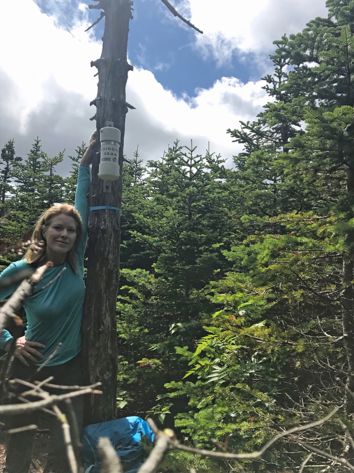
| Spaulding #66! |
 |
| Abraham #65 |

 |
| blue bead lily |


 |
| Abraham summit ahead! |


 |
| hidden shelter on Abraham |

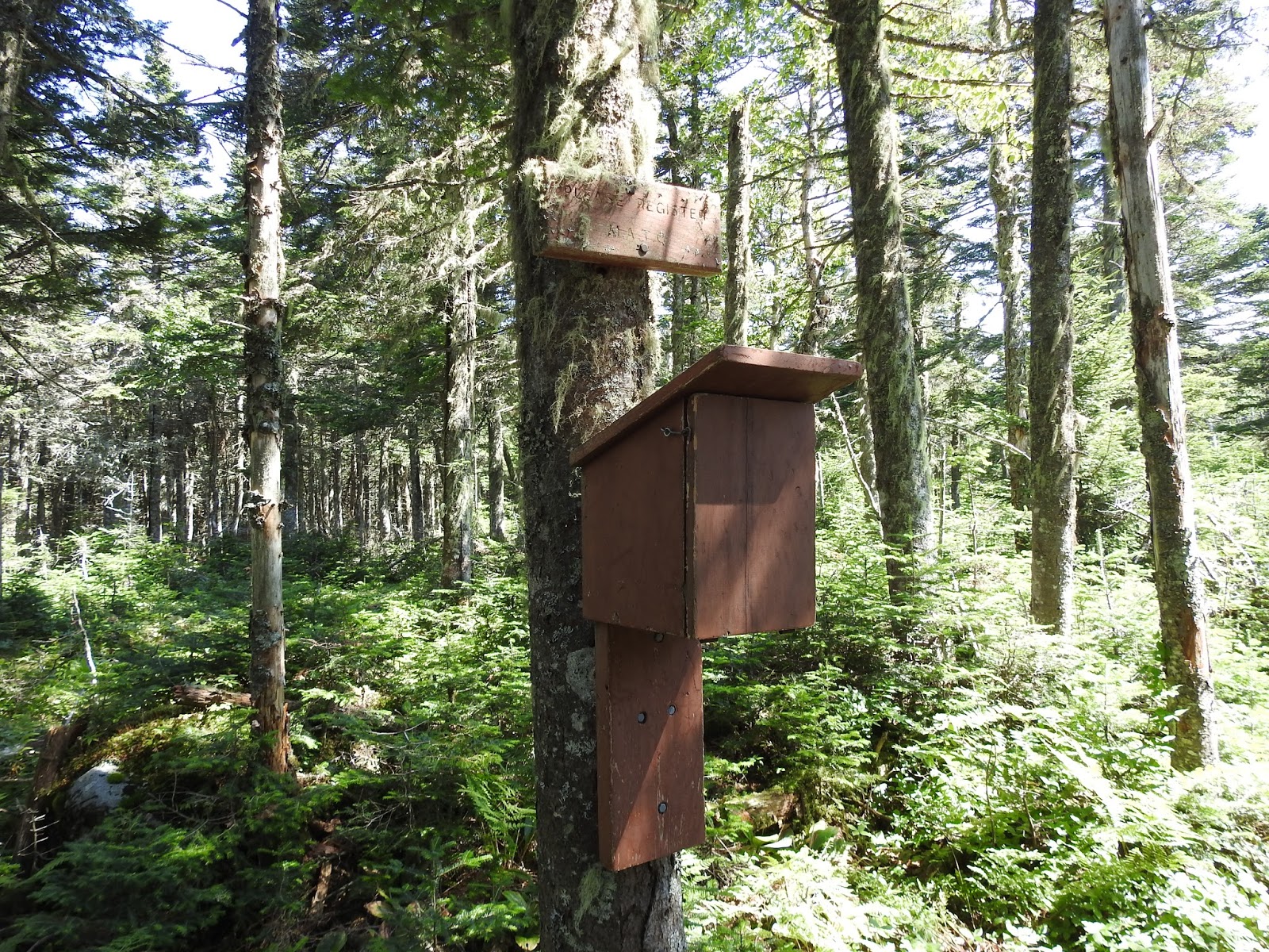 |
| AT hiker registration, has registration cards but no pencil! |


 |
| By coincidence, we arrived on the anniversary of the 'completed final link' August 14, 1937 and dedication plaque August 14, 1987! |


 |
And then there were none.... the end. |