I have a lot of hiking experience but I know nothing about camping.
I have done a million car camps and overnights in mountain cabins but my tenting experience is limited to packing a 4-person Walmart special into a canoe along with some firewood and hot dogs and canoeing (with my then 5 year old son) to illegally camp in Scout Hollow on the other side of Fosters Pond.
When my son got older, I did a billion scout campouts in my Walmart special surrounded by dozens of little scouts wreaking havoc while the parents talked around a campfire. None of these experiences adequately prepares you to hike into the woods alone with your gear and set up camp. I tried it once before and ended up hiking 5 miles back to the car in the middle of the night: Mount Resolution and Mount Stairs: You’ve got to be kidding me.
My goal is to become a competent camper. I want to learn to comfortably disconnect from the world and spend a few days alone in the woods without freezing, starving to death, or being mauled by an angry bear. Great info about bears in the video below (not really but incredibly funny).
I wanted to hike to a remote, primitive campsite, void of people and cell reception, with water, sun, wildlife and mountains. After consulting with a few redlining friends, I decided on the Unknown Pond Tentsite.
My pack was heavy, filled with REI camp food, instant coffee, a bivy tent, 20 degree rated sleeping bag, a sleeping pad, MSR Pocket Rocket cook stove, even almond milk for my coffee. Except for the intense fear of being mauled by a bear in the middle of the night while sleeping in my flimsy bivy tent, I was ready to go!
It starts out well as I pull into Millbrook Pond Road. I am in no hurry to get anywhere so I stop to look at everything. I was startled by the beauty of a Scarlet tanager that landed in the road. I watched it until it took off as quickly as it landed. It was the first time I had seen one in over 20 years. As I continued on, I came across dozens of butterflies huddled in the middle of the road. I stopped the car to see what they were doing.
 |
| Butterfly bouquet of White Admiral, Tiger Swallowtail and Viceroys |
 |
| In this photo you can see they are attracted to animal scat (maybe coyote or bobcat) |
What I learned was, male species of some butterflies will drink at muddy puddles or damp earth for mineral salts and scat (a.k.a. poop) or animal carcasses to get amino acids and other vital nutrients. This added nutrition is needed for them to generate spermatophores, the packets of sperm and nutrients that are transferred to the female during mating.
The Unknown Pond trail hasn't changed much since I hiked to the Horn in 2014. The trail is not blazed, it is narrow and overgrown in places but it is very easy to follow. There is still a large muddy area about 30 minutes into the hike, but you can rock hop to avoid sinking shin deep in mud. This hike will take you through beautiful sections of birch trees, patches of wildflowers and various mushrooms as the trail gradually ascends to your overnight destination.

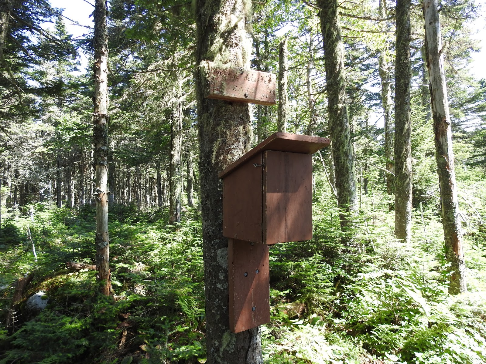
The Unknown Pond tent site is located on a spur trail off the Unknown Pond Trail. To my surprise there was an outhouse, a clean odorless outhouse! There are six designated tent areas nicely spaced and two or three fire pits. You can get water from one of the streams or directly from the pond.

It had been a while since I opened my tent. When I laid it out on the ground I had a momentary lapse of how to put it together. After I set it up, I realized I had forgotten how small it was. Oh lord, you can't sit up in a bivy tent. I hate this tent.
 |
| looks good until you try to sit up in it. |
 |
| Annoyed |
Every time I entered, exited or tried to sit up in this coffin, my hair would get stuck on one of the numerous internal zippers. There is enough hair stuck in the zippers to make a nice bird nest.
I gathered all of my 'food stuff' and headed down to the pond. 'Ahhhh...', the minute I sat at the pond, peace transcended. It was windy, cold, and it was just beautiful.
I pulled out one of my meals. Fettuccini Alfredo with Chicken. I had visions of this:

What I got was this:


I closed it up and used it as a body warmer. It helped keep me warm for a couple of hours as I sat and watched the light change on the pond.
 |
| Late afternoon light on Unknown pond |
By 6:30 my fettuccini body warmer and numerous layers, including a down vest under my wool pullover, were no longer keeping me warm. Reluctantly, I surrendered my pond view and headed back to the tent site. I ripped out a few more hairs as I entered my tent, wrestled off my shoes, struggled with where I was going to put my pack, tried to sit up, pulled out a few more hairs and burst out of the tent in exasperation!
I decided to put everything I didn't need under the rain fly outside of the tent. I tied up my food between two trees and hung a bear bell from the rope. If I heard the bell during the night, I would propel myself from the tent and flee.
I crawled back into the tent, pulled out a few more hairs, got into my supposedly 20-degree-rated sleeping bag, made another attempt to sit up (thinking if I sat up enough times the tent would magically grow taller). It didn't. I unsuccessfully tried to find a comfortable way to read. The wind kicked up, the temperature dropped and I was cold. Not 'you're going to become hyporthermic and die' cold, just uncomfortable 'too cold to sleep' cold. I fell asleep, woke up freezing, curled up into a ball, woke up freezing, curled up into a ball, woke up freezing and so it went until 4:00 AM.
I got up, put on my headlamp, gathered up more 'food stuff' and headed to the pond. I sat and watched as the morning light spread over the water. 'Ahhhh...' peace fell over me as the morning light expanded. My breakfast was much more successful. Hot coffee with almond milk, some surprisingly good quinoa apple oatmeal and a view to die for!

I sat at the pond until 8:00AM watching the insects skim across the water, listening to bullfrogs and birds sing then I wandered back to explore the other tent sites. I discovered some of the upper sites have mountain and sunrise views.


I learned a few things on this trip: I hate bivy tents, I am no longer afraid of being mauled in the middle of the night by bears, I like quinoa, and I like camping. I will be back Unknown Pond and I will be better prepared.
*******


 |
| White lady slipper |
 |
| Rock hopping to avoid the mud |
 |
| One of a billion resident toads along the way |
 |
| Unknown wild flowers |
 |
| possibly cracked bolete |
 |
| possibly king bolete |

 |
| Watching a spider while lying in my coffin, umm..I mean tent |
 |
| Upper tent site |