Saturday, June 27, 2015

Shelburne Moriah

I wanted to have more storage space in my car, so I replaced the full-sized mattress with a twin-sized inflatable mattress for my car camp.  Note to self:  $11.00 Walmart specials will deflate in the middle of the night giving you nightmares of being tossed around on rough seas.


I woke up on my deflated mattress to a surprising sunrise at 5:15 AM. The weather report had said cloudy, rain showers at 7:00AM and a possibility of thunderstorms around 3:00PM. I wanted to get ahead of any thunderstorms so I was on the trail at 5:30. The trail starts out wide and flat and I’m thinking this will be a breeze compared to yesterday’s West Royce hike. I look at my GPS and notice the starting elevation is 860.  The summit elevation is 3,735 feet, with most of the elevation gain in the last mile of Rattle River trail.  This was not going to be an easy hike. 

The trail continued to be relatively flat past the cabin, where there were very few blazes along the trail.  I saw a white one and figured I would be looking for white blazes.  The trail became overgrown as it meandered along the river and I started wondering if I was going the right way.  I stared at the map and looked at my GPS.  There was nowhere else to go; this was the only trail up.  It crossed the river a few times, the river was low and the crossing was easy, even for the ERD.   I saw a red blaze and stopped short.  I thought I was following white?  I stared at the map again, stared at my GPS and reassured myself this was the only trail up. 
Rattle River
The trail doesn’t get steep, really steep, until you get to the last river crossing about a mile before you reach the Kenduskeag Trail.  I looked at my GPS, I was only at 1900 feet of elevation. Oh man. I sat. I ate. I thought.  Maybe the ERD’s tired; maybe he wants to turn back.  I looked at him; he looked at me. He continued up the trail and I followed.

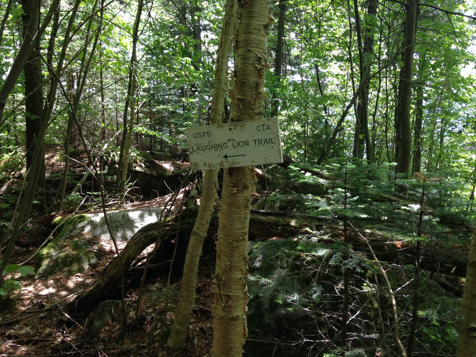
The trail has stone stairs on a good portion of the it, making the ascent much easier than the eroded trail I experienced while hiking Royce and Laughing Lion the day before.   They were never-ending stone stairs and all I could hear was the song “Stairway to Heaven” in my head over and over again. 

I finally make it to the Kenduskeag Trail.  I thought, “I’m at 3,400 feet of elevation.  OMG I am only a 1.4 miles away.”  I read some interesting things about this trail online, but how bad could it be?  Sigh…  This is a muddy, bushwhacking hell hole.  I tried to avoid the mud and was doing quite well until one small misstep got me stuck mid-shin deep.  I had visions of an AT through-hiker finding my body in August, mummified by the bog and bugs.  I finally pulled myself out.  Luckily for me, I refused to put away my heavyduty winter gaiters and my foot remained dry!

Mid shin deep mud on Kenduskeag Trail
mud, lots and lots of mud
I continued on until I hit a wall.  A literal wall of trees.  “Um, what happened to the trail?”  I pushed through and saw I was still on the trail.  Then the trail drops down…. “No!”, I said out loud. “I refuse to give up any of the elevation gain I just climbed!  I worked too hard for it!”  But, of course, I had to continue on.  The trail goes up a little then ruthlessly down.  Each time you see the sky and think you are almost there, you go down again.  Talking out loud I said, “Why would the universe make such a trail?” I imagined a response from the universe.  “The trail was here long before you decided to hike it and I was nice enough to change the weather forecast for you so you didn’t have to hike it in the rain.”

Yes, this is the trail. No, not kidding.
I finally popped out of the bushwhacking mud mess and the trail opened up onto sweeping ledge views.  I looked at my GPS, I still had 400 feet or so of elevation.  I looked ahead and kept going. I came to a large cairn. I wanted it to be the summit, I sent a post to the 52WAV group. Is this it? I knew it wasn’t. My GPS told me I had 100 feet of elevation left to the summit.  I continued on. I see it. I made it! I plop in front of the summit cairn and take a photo.  The ERD stared at me.  He wanted to eat.

Me at the summit, with my phone lying on the ground next to me...
After a while I said goodbye to the summit and told S. Moriah I would not see her again.  I hiked about 10 minutes back down the trail and realized I left my phone at the base of the cairn. I had to see Shelburne one more time. Haa!

48 down 4 to go.

rays of light shining on the ERD


the summit!


The ERD wanting to eat
not the summit
Coptis trifolia - Goldthread blossom
Eriophorum (cottongrass, cotton-grass or cottonsedge)
summit cairn
Red squirrel eating - keeping a wary eye on me.


Friday, June 26, 2015

West Royce via Laughing Lion

I intended on hiking the East Royce trail to hit both East and West Royce summits.  However, the universe and I don’t always move in sync and I parked at the Laughing Lion trailhead.  I quickly realized my mistake but decided not to turn back. 

The start of the trail is dark, narrow, not much more than a deer trail, with missing or faded blazes.  I stood staring at the woods a few times wondering where the heck the trail went.  The ERD stared at me and took off in the opposite direction.  He turned around to give me a, “What’s your problem?” look.  One of his many such looks during this hike.  The Laughing Lion trail is unrelenting in its steep ascent but was mostly dry so I didn’t have to worry about slipping to my death.  At least not until I got to the Royce Trail.  This is a wet, slippery, eroded trail.  My feet kept getting stuck in the exposed roots, my mind was numbed by the endless, viewless, tricky ascent. 


I finally got to the top and there were people!?  Nice, friendly, enjoyable people, one with a dog that the ERD was happy to socialize with, but people just the same.  The ERD nosed around in the hiker’s backpacks looking for unattended food.  I sat for an hour reluctant to leave before the people left.  I had nowhere else to go and needed to have some quiet time after a steep hike. After we said our goodbyes, I stayed for a time, then started down the wet, slippery, root infested, ‘bad-word spewing’ descent. 

When I finally got down, thankfully alive, I went to check out the parking area for the Rattle River trailhead.  Not as nestled away as I like, but it would work fine for a nice car camp.

I went to dinner at the Town and Country Inn and Resort.  The food was good but the service was horrible. Maybe it had something to do with the fact I looked like a disheveled homeless person.  After dinner I went back to the parking area and noticed an older couple looking in the bushes. They were a couple of motorcycle-riding 78 and 82 year olds! So Awesome! They were fellow Geocachers.  I had found the cache earlier and went over to tell them where to look.  We had a great talk.  They told me they have been driving across the country finding cool locations they would never have found if it wasn’t for caching.  They said caching and traveling on their motorcycle keeps them young.  It must be working because I would never have been able to guess their ages!

The weather forecast isn’t good for my hike  tomorrow.  Cloud cover all day with chances of rain and a potential thunderstorm.  I’m looking forward to it anyway.

47 down 5 to go.

cool glacial erratics along the way
wet trail
This lovely grouse thought it would be funny to startle me.
Shimmering mirror reflections of Mica in the rocks along the trail
delicate mushrooms in the moss 
Views from West Royce


muddy, slippery trails and the ERD
cool rocks
Dark beginnings of Laughing Lion trail
Roots and more roots
 

And, more roots!
 

Enough roots please!
Wet trail on Royce

Sunday, June 21, 2015

North Moat, Red Ridge loop and a sick ERD

I left Friday afternoon and headed to NH ready for another car camp.  After fitting in a short hike to Table Mountain, I set off to check out the parking area for North Moat.  There were “No Overnight Parking” signs posted.   I don’t mind breaking the rules, but I do mind being woken up in the middle of the night by a ranger.

It was Motorcycle weekend (it seems it’s always motorcycle weekend in NH) and I knew I wouldn’t find a reasonably priced place to stay that accepted ERDs.  I set Plan B into action.  I drove around looking for Inns with lots of unmarked parking spaces.  I found the perfect place very close to the North Moat trailhead.  After dinner I came back to the lot just before dark, read a book, charged my phone, and was asleep on the mattress in my Sequoia by 9:00PM.

I woke at 5:00AM to sun, no clouds!  Got my stuff together and was on the trail by 6:00AM.  The trail is very easy going until you reach the Attitash junction, from there it’s a continuous, steady climb with good footing.  The last 700 feet of elevation is a nice quad blaster – nature’s stair master.  I got to the summit in 3 hours – for me that’s lightning speed.  I enjoyed the trail.  It is a relatively easy, quick route for anyone who just wants to summit North Moat.

The summit was just beautiful; I couldn’t have chosen a better day.  The wind was mild, the air was cool, and the early morning sun was warm.  The ERD was enjoying the hike and took off to check out something I couldn’t see.  Apparently he found something gross and dead to eat, because he didn’t smell good when I called him back.

I had a little trouble finding where the Moat Mountain trail continued but finally spotted the blaze and proceeded down toward the narrow path.  This section of the trail is rather grown in and poorly marked. Although it’s just over a mile, this dark, viewless section seemed to drag on forever until you get closer to the Red Ridge trail. Then it opens up to rust colored rock slabs with great views.   When you emerge onto the open ledges of the  Red Ridge trail – wow!

Unfortunately I wasn't able to enjoy it; this is when the ERD got sick.  Vomiting grass bits and unidentifiable sludge, he was shaking and unable to jump down ledges.  Apparently his dead-animal treat didn’t agree with him.  I tried to get him to drink some water, eat a healthy dog snack, nothing.  This dog never says no to a dog treat and he never stops moving.  I was worried.  I knew I was going to have to carry him down.  I was going to have to carry him on my pack, down a very steep trail back to the car.  At this point I was wishing I had done the loop in reverse.  Red Ridge is a much easier trail to ascend than descend. 
Sick on Red Ridge
The ERD was groaning and cried out when I touched his belly.  He smelled gross like the dead animal he ate and apparently rolled in.  This was going to a fun hike down.

Sick ERD
With the ERD on my pack I had to slide down some of the trail on my backside unable to maneuver steep sections with a dog on my pack. This is not an easy trail to descend period, nevermind with a dog on your pack! In addition, there are sections of this trail where the blazes are faded and hard to follow. Not a problem normally but when you have a sick pooch on your pack it can be a little frustrating.

I kept pouring water on his head thinking this would help (it just made him smell worse). I ran out of water about a ½ mile before Moat Brook (86 ounces of water used between us).  When I reached the brook, I filtered some water for a much needed drink, used some trail soap to get the dead animal smell off of us, and took a lunch break.  The ERD looked better, ate some food, and started to act like his old self again.

He ran down the trail ahead of me, all the way to Diana’s baths where he greeted lots of children, on the way back to the car.  46 down 6 to go...

Trail conditions:www.newenglandtrailconditions.com
Mt. Washington
All of these Mountains!

Chocorua view

The ERD
ERD scurrying along North Moat


Feeling better he was back in front leading the way.

happy always to carry a filter.

At Moat brook the ERD looks and feels better
Ganoderma Tsugae (Reishi mushroom)
Lots of little American toads on the trail - watch your feet :)
No trouble crossing Lucy Brook today - and easy dry walk across


Red Ridge trail


Another little guy jumped across the trail.

Amazing views!
Not my usual happy self, knowing I have to carry my poor sick dog down.

A nice bright blaze 
Virabhadrasana III (Warrior 3 pose)