After
completing the 52WAVs I told my husband, “No more lists. I’m just going to
leisurely hike mountains with a 360 view”.
He said that’s sounds like a list to him. “No more blogs”, I said. Then I told myself I wanted to remember my
hikes, so here I am again.
I
made a last minute decision to hike Carrigain.
I looked at my map, read some trail logs, put the full-sized mattress in
my car and was ready for a car camp. I
checked the weather one more time. It looked great, but so did the forecast for
Jefferson the week before. Coming down
the Caps Ridge trail in the fog was a little hairy.
I
arrived at Sawyer Pond Road at 10:30PM.
This road is interesting at night; dark and narrow with drop-offs on
either side. I was driving slowly when something
swooped in front of my car. I thought it
was a screech owl. Then another and another flew past at lightning speed. I realized they were bats. Not the small ones I’m used to on the pond in
my yard, but big ones (Eptesicus fuscus)
the size of screech owls. Apparently my
headlights were attracting insects sending the bats into an aerial feeding frenzy.
The
frenzy slowed, then stopped, as I approached the parking area. I put the leash on the ERD and took him for a
walk. I looked up. The sky was clear,
brilliant with stars. Three-dimensional,
I reached up to touch them. I need to go
camping under a sky like this. I set up my bed so I could look through my
window. I fell asleep to the ERD’s snores and the star-glazed sky.
Awake
and on the trail at 6:00AM, the ERD and I were ready for the hike. There were lots
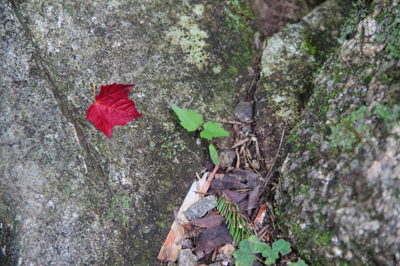
of mushrooms on the trail to keep me occupied.
The trails were littered with chanterelles and hedgehogs. I spotted a
number of Gomphus floccosus (common names: wooly chanterelle and scaly vase). It was the first time I've seen these. I collected a few and threw them into my pack. Many people eat them, however my guide books (and my mycology friends) advise against it. It won't kill you but they contain indigestible acids that have been known to cause GI upset.


Before the hike, I read a trail log mentioning a section of the Signal Ridge Trail had been rerouted, but the AMC map still shows the old route. According to the "4000 Footers of the White Mountains - A Guide and History, 2nd Edition", several relocations were made on the Signal Ridge trail in 2012. The new section follows the south side of the Whiteface Brook avoiding a potentially difficult brook crossing. When I got to this section of the trail a small arrow clearly directs you to the right, but my map and GPS told me to go left.

I ignored the arrow and continued left onto the old trail. The trail was a little overgrown, but much better than a lot of trails I've hiked and it turned out to be much shorter than the reroute. The water crossing was tame, but deep enough that the ERD had to swim part of it.

The old trail dumped me back onto the main trail. Still early, I had the trails to myself. I met only one person on the way up. A lightning fast gentleman hiker who looked like he stepped out of "The Sound of Music". He was up on the summit and on his way down by the time I hit the ridge crest. He made it look like a leisurely stroll. We talked for a bit then off he went to hike another set of mountains!
Looking up at the fire tower, I set off to hike the last stretch to the summit. This last 1/2 mile is a lot easier than it looks from the ridge crest and I quickly found myself completely surrounded by mountains. I can't imagine sharing this platform with a lot of other hikers.

As much as I love hiking alone and having a summit to myself, I always take time to chat with hikers when I see them on the trails. I had a great conversation with a couple of AT hikers finishing up the season with some peak-bagging. One was interested in mushrooms, so I gave him the hedgehogs and chanterelles I collected on the way up. They bonded with the ERD and asked for a photo-op with him.
I continued to take photos of mushrooms and talk to hikers along the way. When I found myself alone again I had a sudden spark of panic when I realized I didn't recognize the trail. Even though I knew I was going in the right direction, I had a little doubting voice telling me I missed a turn and was going to end up at the top of Carrigain Notch. I stood and stared at my map. It told me nothing. I continued on. It was the rerouted section of the Signal Ridge trail I avoided on the way in. It was longer, there were log bridges and planks, it went up hill then downhill, but finally brought me back out to the little arrow sign.
One more hike completed from my list that's not a list.


Before the hike, I read a trail log mentioning a section of the Signal Ridge Trail had been rerouted, but the AMC map still shows the old route. According to the "4000 Footers of the White Mountains - A Guide and History, 2nd Edition", several relocations were made on the Signal Ridge trail in 2012. The new section follows the south side of the Whiteface Brook avoiding a potentially difficult brook crossing. When I got to this section of the trail a small arrow clearly directs you to the right, but my map and GPS told me to go left.

I ignored the arrow and continued left onto the old trail. The trail was a little overgrown, but much better than a lot of trails I've hiked and it turned out to be much shorter than the reroute. The water crossing was tame, but deep enough that the ERD had to swim part of it.

The old trail dumped me back onto the main trail. Still early, I had the trails to myself. I met only one person on the way up. A lightning fast gentleman hiker who looked like he stepped out of "The Sound of Music". He was up on the summit and on his way down by the time I hit the ridge crest. He made it look like a leisurely stroll. We talked for a bit then off he went to hike another set of mountains!
Looking up at the fire tower, I set off to hike the last stretch to the summit. This last 1/2 mile is a lot easier than it looks from the ridge crest and I quickly found myself completely surrounded by mountains. I can't imagine sharing this platform with a lot of other hikers.

As much as I love hiking alone and having a summit to myself, I always take time to chat with hikers when I see them on the trails. I had a great conversation with a couple of AT hikers finishing up the season with some peak-bagging. One was interested in mushrooms, so I gave him the hedgehogs and chanterelles I collected on the way up. They bonded with the ERD and asked for a photo-op with him.
 |
| The ERD and his new friends
I met another group of hikers taking a break before they headed up to the summit. It turns out I knew some of them from their NETC logs. It was great to put faces to the logs.
|
 |
| A great group of hikers |
One more hike completed from my list that's not a list.


 |
| An easy jaunt to the fire tower |


 |
| Hedgehog Mushroom - a choice edible when cooked |
 |
| The ERD enjoying the view |
 |
| The arrow says Right, I go Left :) |
 |
| Gomphus floccosus |
nice posting...one my 'list' for a fall hike
ReplyDeleteThanks Robert. It would be a spectacular hike in the fall! :)
Delete